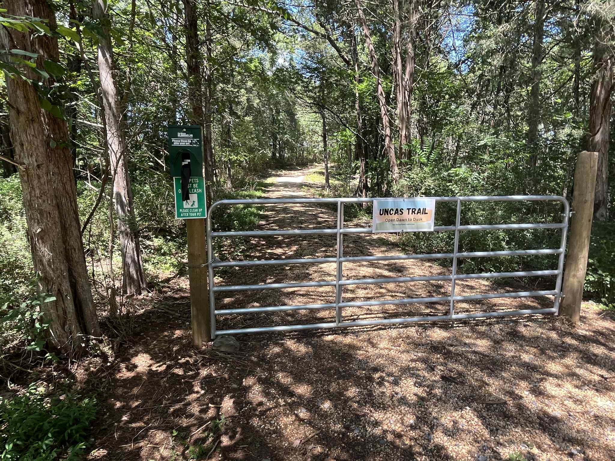
Uncas Nature Trail
Hike from small parking area beside Lexington Public Works Department down to the Maury River on an unimproved driveway. The driveway extends northeast through mixed cedar and hardwood forest surrounded by limestone outcrops with the Maury River.
0.75 MILES
DIFFICULTY: MODERATE
DRIVE TIME: 5 MINUTES
HIKE TIME: ~ 50 MINUTES
DISTANCE: 0.75 MILE
VIEWS: MAURY RIVER, BLUE RIDGE MOUNTAINS, WOODED TRAIL
DRIVING DIRECTIONS
From 106 E. Washington Street start out going northwest on E Washington St toward N Randolph St. Take the 2nd right onto N Main St/US-11 Bus N and go 0.85 mile. Turn right onto Campbell Ln and go 0.15 mile. Take the 2nd left onto Shop Rd and go 0.16 mile.
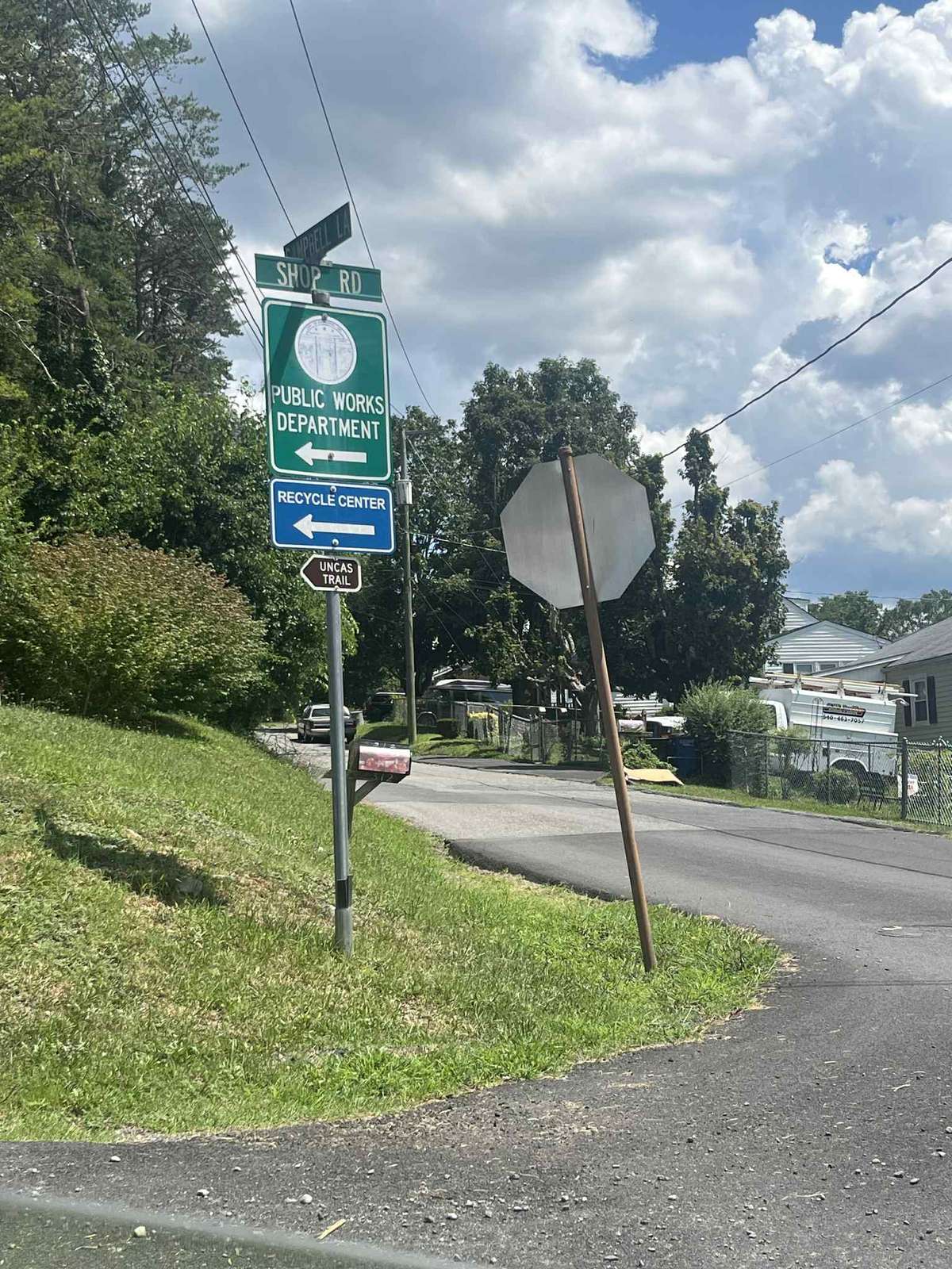
Coordinates: 37°47'17.63"N, 79°25'27.90"W
Driving Distance/Time: About 1.5 Miles/5 Minutes
DESCRIPTION
The hike is easy with a few moderate sloping sections. The upper part of the trail from the parking area to a clearing above the river follows an old gravel driveway. From the clearing to the river is more like a jeep trail.
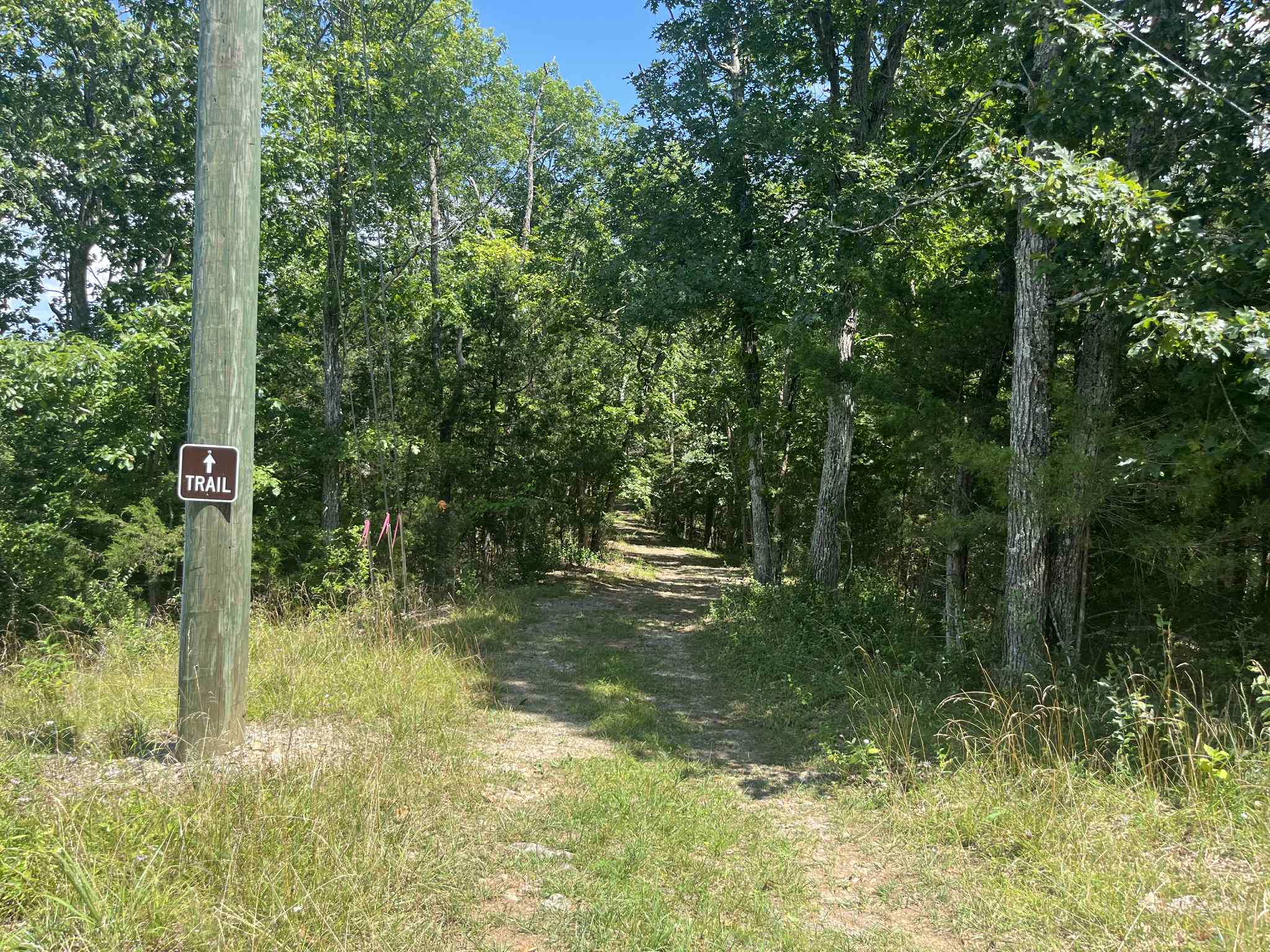
The trailhead and an informational kiosk are located at a small parking area behind Lexington PublicWorks buildings. The Uncas Trail extends about three-quarters of a mile, first along the Lexington Public Works yard before turning right on bluff overlooking the Maury River, while passing through deciduous forest with views of karst features and outcrops. The trail then descends to the river - the left fork extends about 100 yards to small beach on the Maury River (across the river you can see the Lexington end of the Chessie Nature Trail); to the right, the trail follows along the river for several hundred yards before heading back up to loop into the trail. Expect plenty of birdsong, deer, and an occasional turkey.